Drone Services
Drone Services
Aerial Services
Elevate your visuals with high-res aerial imaging for marketing, real estate, and events. We also specialize in cleaning hard-to-reach assets like windmills, facades, and solar panels.
Mapping and Surveying
Streamline data collection for construction, agriculture, and land surveying. Our drones deliver precision 3D mapping, topography insights, and GIS data.
Infrastructure Inspection
“Ensure precision inspections of power lines, wind turbines, bridges, and more. Our drones are outfitted with cutting-edge sensors and thermal imaging for in-depth analysis.
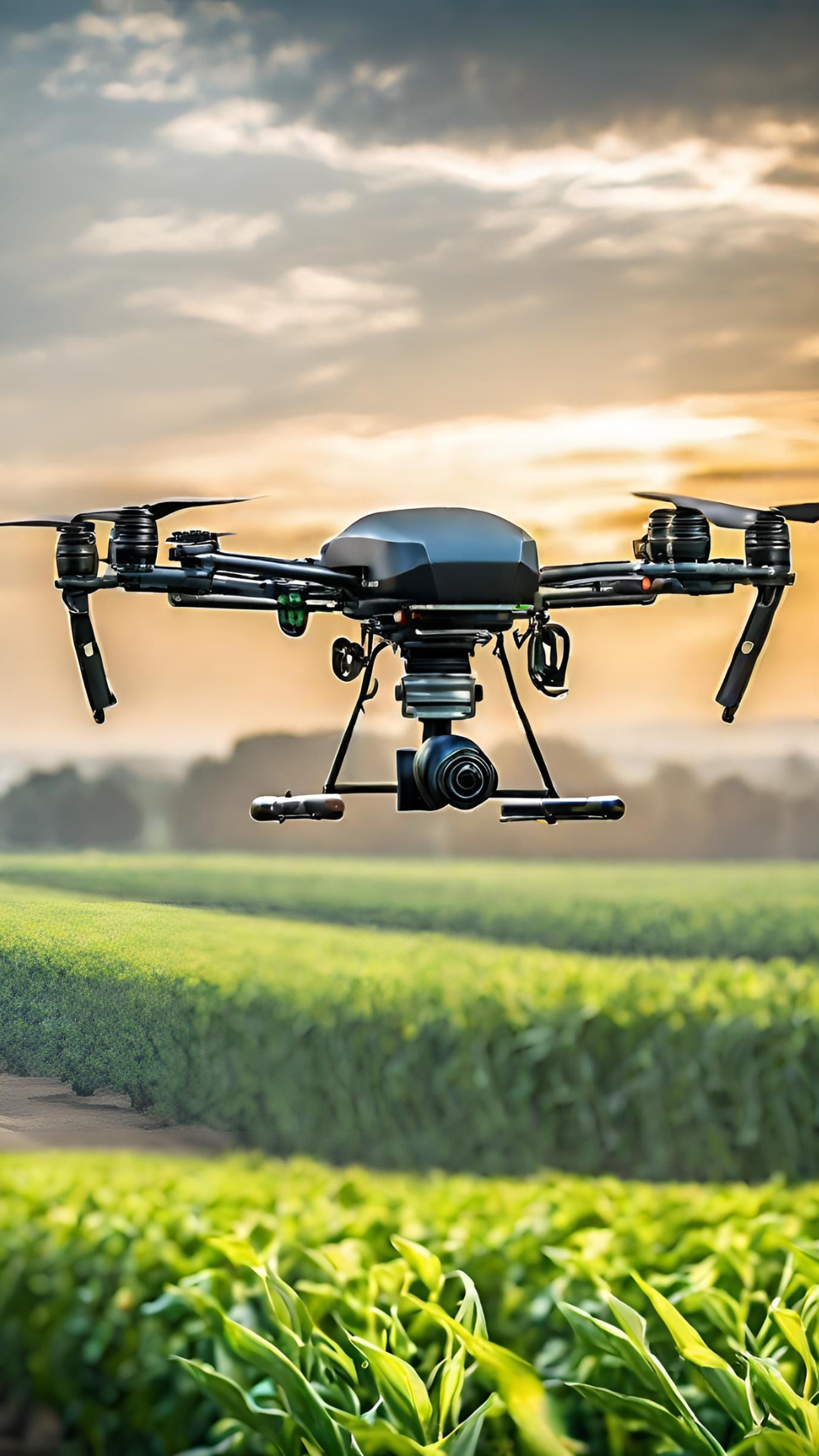
Agriculture Services
Enhance crop management with NDVI imaging and health assessments. Boost yields and minimize resource waste for maximum agricultural efficiency.
Search and Rescue Support
Be a lifesaver in search and rescue operations. Our drones feature thermal cameras and swift deployment to locate missing individuals in difficult terrain.
Custom Solutions
Our services are customized to meet your specific requirements. Reach out to us for a personalized consultation on tailored drone solutions for your industry